El Nino has returned. What does that mean for Utah?
Jun 9, 2023, 8:00 PM
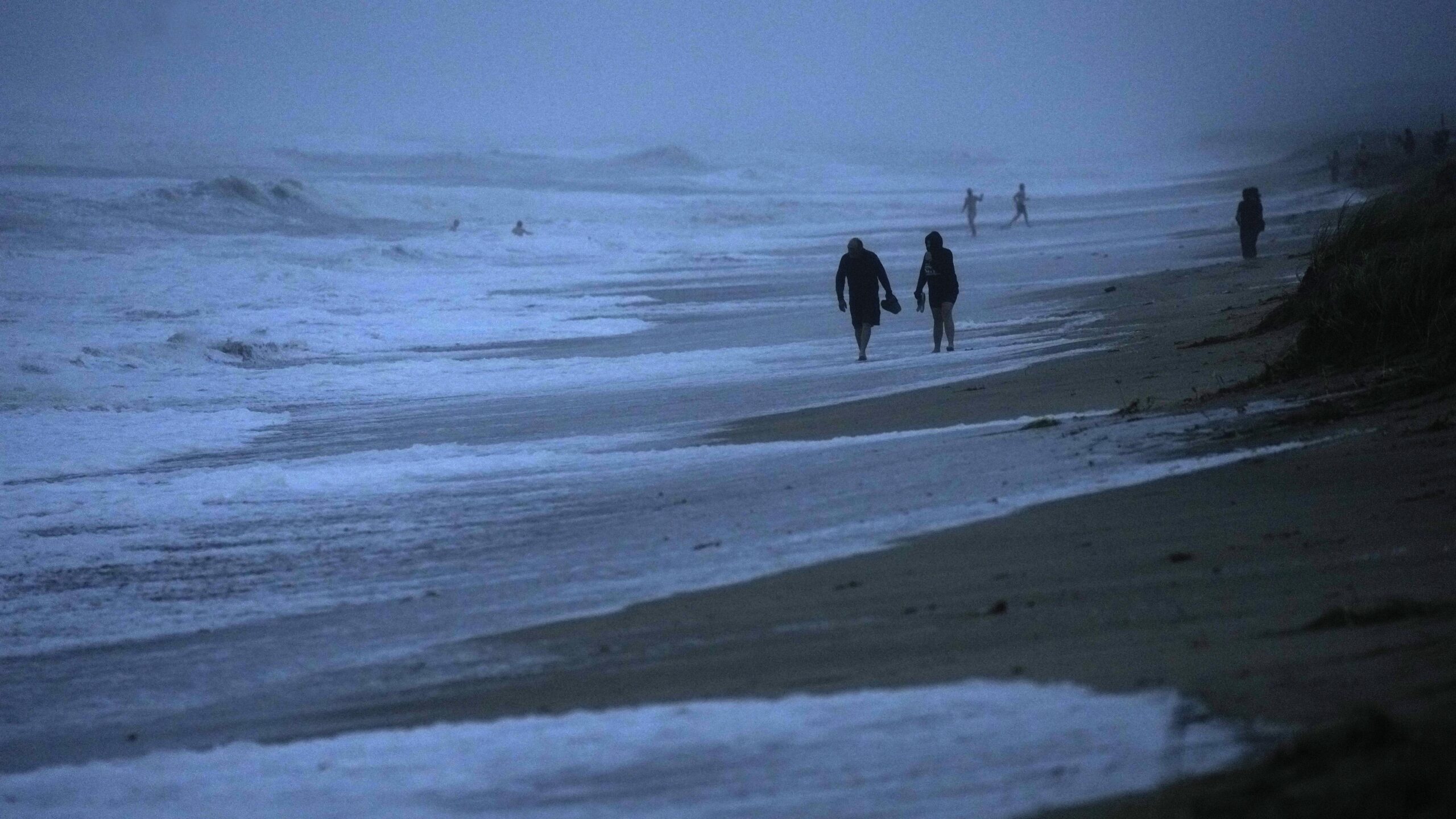
FILE - People walk along the oceanfront at Jensen Beach Park, where waves were reaching the dune's edge as conditions deteriorated with the approach of Hurricane Nicole, Nov. 9, 2022, in Jensen Beach, Fla. After months of gradually warming sea surface temperatures in the tropical Pacific Ocean, NOAA officially issued an El Nino advisory Thursday, June 8, 2023, and stated that this one might be different than the others. (AP Photo/Rebecca Blackwell, File)
Credit: ASSOCIATED PRESS
(AP Photo/Rebecca Blackwell, File)
SALT LAKE CITY — The weather phenomenon known as El Nino has returned, according to the National Oceanic and Atmospheric Administration. It is expected to get stronger as winter approaches, generating another wet winter.
El Nino is a climate pattern that refers to the non-typical warming of surface waters in the eastern portion of the Pacific Ocean.
How much will El Nino impact the state of Utah? It’s hard to say, according to Jon Meyer with the Utah Climate Center.
“Unfortunately, Utah, much of it, is in a what we call a saddle point, meaning that while everyone around us enjoys that level of predictability,” he said. “Here in Utah, we don’t have very much of a statistical relationship with those Pacific Ocean temperatures. And that really makes our seasonal outlooks that much more difficult because we don’t have that Pacific Ocean temperature crutch to lean on as much.”
The NOAA says this El Nino formed two months earlier than expected, giving it additional time to strengthen before the winter months arrive.
However, Meyer says it’s too early to say for sure what kind of winter Utah may have in store.
“A few months out, we can see these events developing,” he said. “Beyond that, it begins to be a little bit more tricky to predict exactly what kind of sea-surface temperatures we’ll get, the severity and the extremities of those anomalies.”
Mark Jones contributed to this article.
Read more:


