High winds still howling, minimal damage reported
Mar 15, 2024, 6:50 AM | Updated: 11:39 am
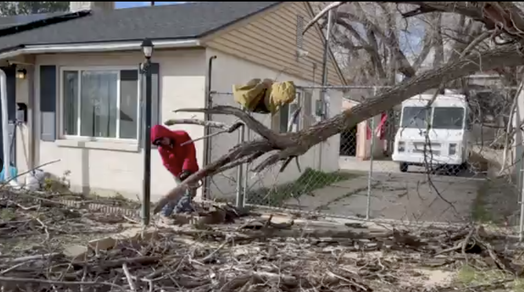
Videos show damage from high winds Thursday afternoon. The wind will keep howling until around noon, at least. (Photo credit J. Enrique Sanchez)
(Photo credit J. Enrique Sanchez)
FARMINGTON, Utah — The high winds peaked overnight in Utah, but they are going to keep howling for the next several hours. The National Weather Service‘s high wind warning doesn’t expire until noon Friday.
PEAK WIND GUSTS: Highest valley wind gust so far was north of Brigham City along I-15 at 70 mph. #utwx
This is good news, minimal damage being noted across the Wasatch Front considering the forecasted potential for 80 mph. pic.twitter.com/NcDrXzaaED
— Matthew Johnson (@KSL_Matt) March 15, 2024
The National Weather Service in Salt Lake City reports winds up to 85 miles per hour in Northern Utah.
Peak totals so far from the ongoing downslope wind event:
🌬️Logan Peak: 85 mph
🌬️ North Brigham City: 70 mph
🌬️ US-89 at Park Lane: 67 mphMore reports available here: https://t.co/11BiW6VzJ9#utwx
— NWS Salt Lake City (@NWSSaltLakeCity) March 15, 2024
Farmington, one of the supposed-to-be wind hotspots saw minimal damage, if any Friday morning. The 67 miles per hour gust along Park Lane was nearly 20 miles per hour slower than Thursday’s forecast for the area, which likely helped prevent more damage.
Some trash cans were knocked over, as well as some construction signs, including multiple that marked road closures.
Locals should be extra careful to not drive into a construction zone. The road closure signs knocked over by wind include the one on Park Lane and Innovator Drive, which is still off-limits. Another closure sign on 1525 W. got knocked over.
There were also small twigs on Main Street, and tumbleweeds and other small debris scattered throughout town.
Power outages from high winds in Utah
We have seen some small pockets of power outages this morning.
Rocky Mountain Power reports about a thousand homes and businesses without power around 7 this morning, but they’re spread out from Ogden to Salt Lake City.
Rocky Mountain Power says if you see a powerline down this morning, stay away from it and report it.
Snow in Southern Utah
Accumulating snow is forecast for central and southern Utah through Saturday. Snowfall accumulation of 1-2 feet is likely for many mountain locations with locally higher totals around Boulder Mountain. #utwx pic.twitter.com/5UZ7Rozhiu
— NWS Salt Lake City (@NWSSaltLakeCity) March 14, 2024
Southern and Central Utah aren’t as windy, but they’re getting a storm of their own today. Some elevations could see multiple feet of snow.
“[There could be] anywhere from one to, potentially up to four feet of snow at the highest terrain,” National Weather Service meteorologist Haydn Mahan said.
Traveling today? Areas that could be affected by the snow while commuting there include Capitol Reef, areas around Escalante or Lake Powell.
Mahan also claims there will be up to a quarter inch of water falling on Zion National Park today and tomorrow.
Upcoming wind forecast
National Weather Service Senior Meteorologist Monica Traphagan told KSL NewsRadio winds peaked early Friday morning and would continue to die down throughout the day.
Though she said winds would still be present this weekend.
Traphagan said Saturday night into Sunday morning another wind event could happen again, though, it’s expected to be weaker than Friday’s event.


