Storm approaching Utah will add significantly to strong Utah snowpack
Feb 21, 2023, 9:14 AM | Updated: 2:34 pm
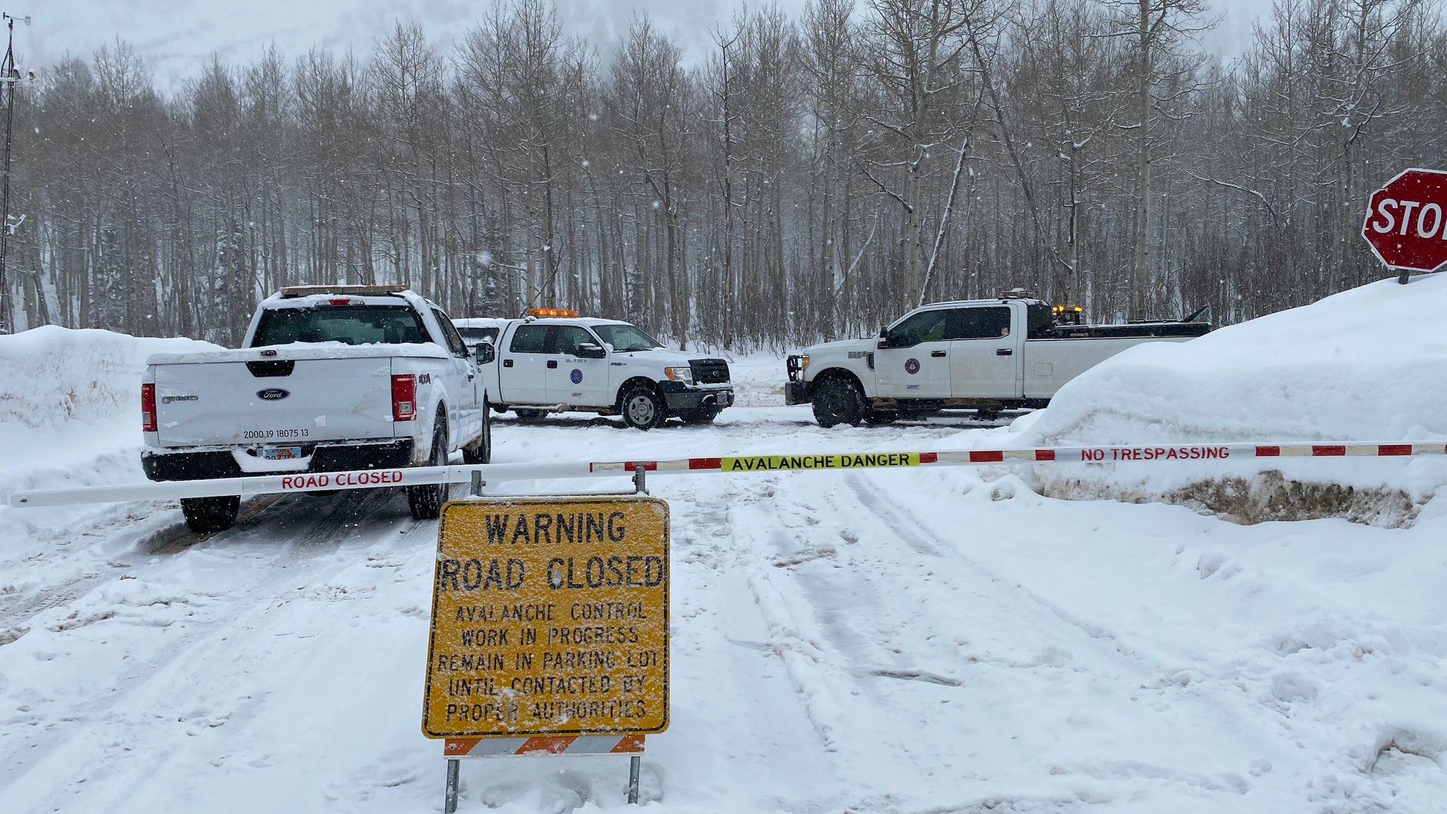
KSL meteorologists say the Wasatch Mountains will get from two to three feet of snow from this storm. (UDOT cottonwood Canyons)
(UDOT cottonwood Canyons)
SALT LAKE CITY — One of the biggest storms of the 2022-2023 winter season is expected to arrive in northern Utah on Tuesday night. And when all is said and done, nearly the entire state will have fresh powder.
National Weather Service Meteorologist Christine Kruse told KSL NewsRadio this storm will bring 4 to 8 inches in the valleys 8 to 16 inches of snow to the Wasatch Front, and potentially 20 inches to the benches.
KSL Meteorologists say the Wasatch Mountains will get from two to three feet of snow.
The storm is expected to begin with rain on Tuesday morning and then turn into snow by Tuesday evening. However, snow could come sooner to some areas.
“If there is any rain, it’s going to be short-lived,” Kruse said citing early Tuesday morning data.
This is such a strong cold-front … it should quickly change to snow.”
Kruse forecasted that snow will fall in Davis County and north to the Idaho border in the early afternoon, and then move to the rest of the Wasatch Front.
Early Tuesday morning, UDOT road signs warned drivers in Davis County to prepare for road snow as early as 11 a.m.
Confirmed by KSL meteorologist Kevin Eubank, evening commutes will be affected.
“It is a significant storm, ” said Eubank. “It’s on par with some of the other big storms we’ve had this year.
UDOT is urging people to leave work early on Tuesday if possible and to avoid road travel on Wednesday morning.
Eubank tells KSL NewsRadio, it will be heavy snow that will make its way to unlikely places like St. George.
What will snow do to the snowpack?
Utah’s snowpack levels are already incredible, ranging from 118- to 194% across the state.
According to Eubank, the intensity of the snowfall is what makes this storm a concern.
With an inch an hour of snow Tuesday night and Wednesday morning, snow totals will pile up.
Kruse said at this time last year the statewide storm water average was 9.6 inches. This year, it’s 16.6 inches.
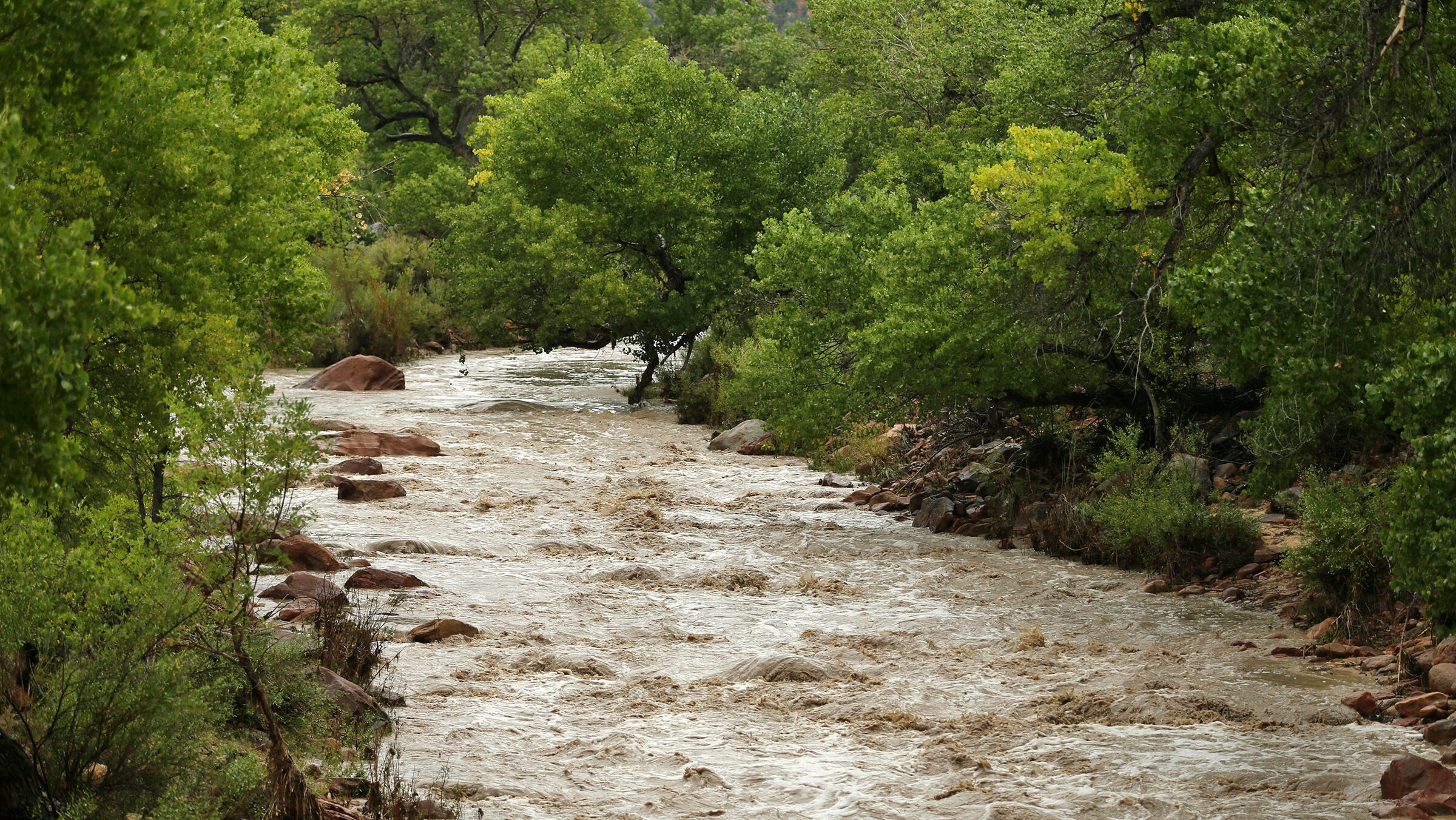
And while more storm water is good for the drought, it could mean the potential for flooding by the time things warm up this spring.
For comparison purposes, ahead of the flooding in 1983 that left State Street in Salt Lake City a literal river, Utah registered 15.8 inches of storm water, less than the 16.6 inches we’re sitting at now.
However, Kruse said that’s not a guarantee.
“It really depends on how the character of the spring unfolds,” Kruse said. “In 1982-1983 … it stayed very stormy and very wet very late into May,”
Kruse said we’ll have to wait and see how fast the weather warms up and how many more storms we see as spring approaches.
Elizabeth Weiler contributed to reporting
Related reading:
- Thanks to exceptional winter, Utah inches out of “exceptional” drought
- Why is Utah getting walloped with snow this winter?
- Utah snowpack at a 10-year-high
23


