Thunderstorms bring impressive rain, flash floods to Utah
Aug 12, 2024, 9:21 AM | Updated: Aug 14, 2024, 2:52 pm

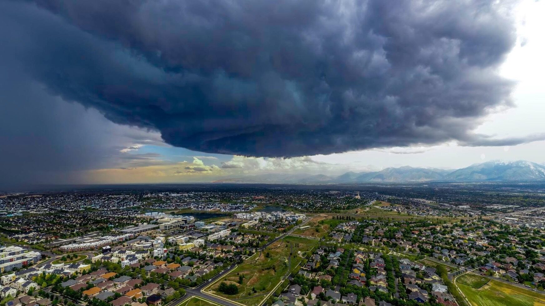
A powerful string of thunderstorms moved north across northern Utah. Thunderstorms left behind an impressive amount of summer rain across Utah. The storms also caused some flash flooding. (Aimee Cobabe/KSL NewsRadio)
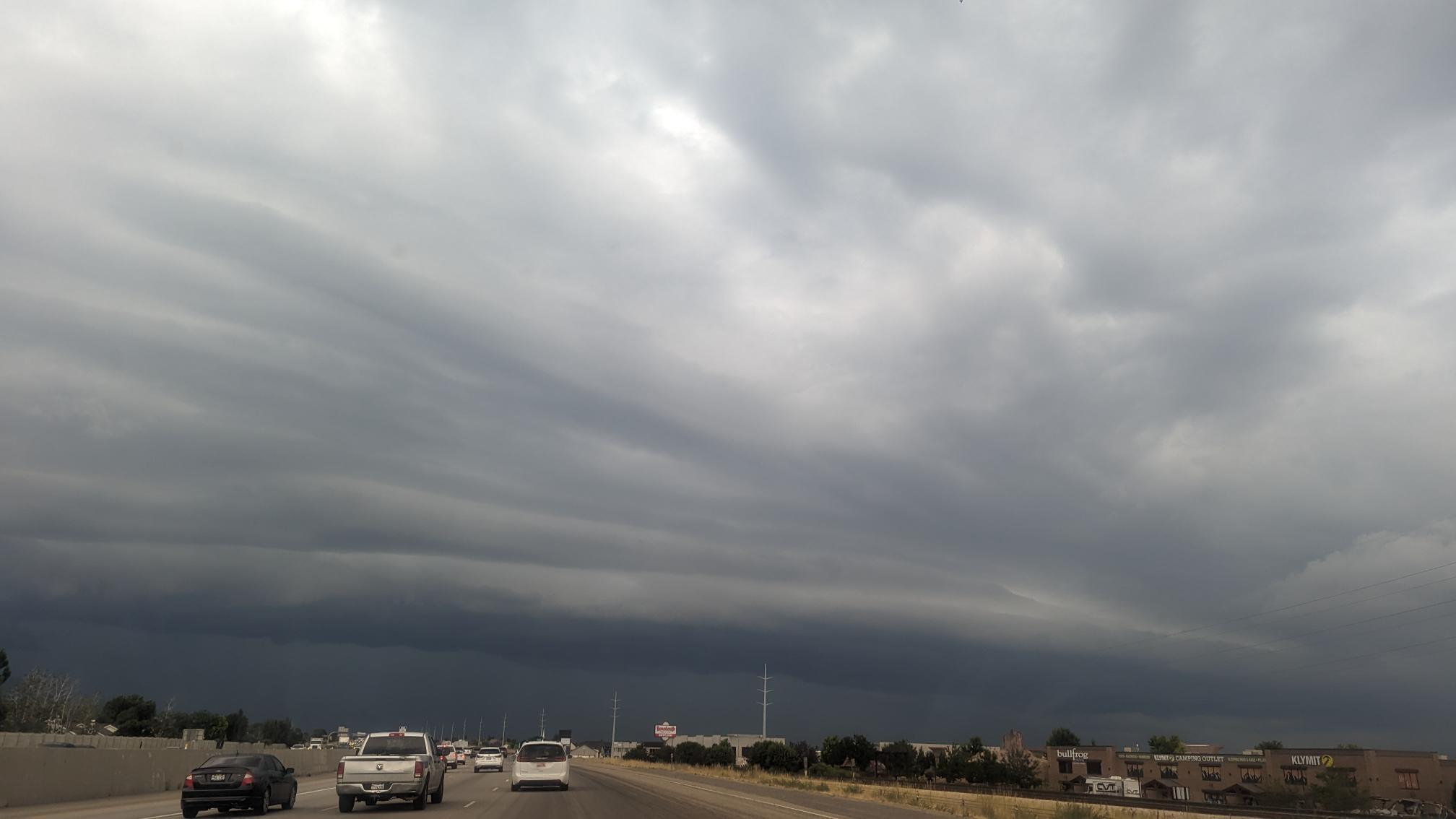
(Aimee Cobabe/KSL NewsRadio)
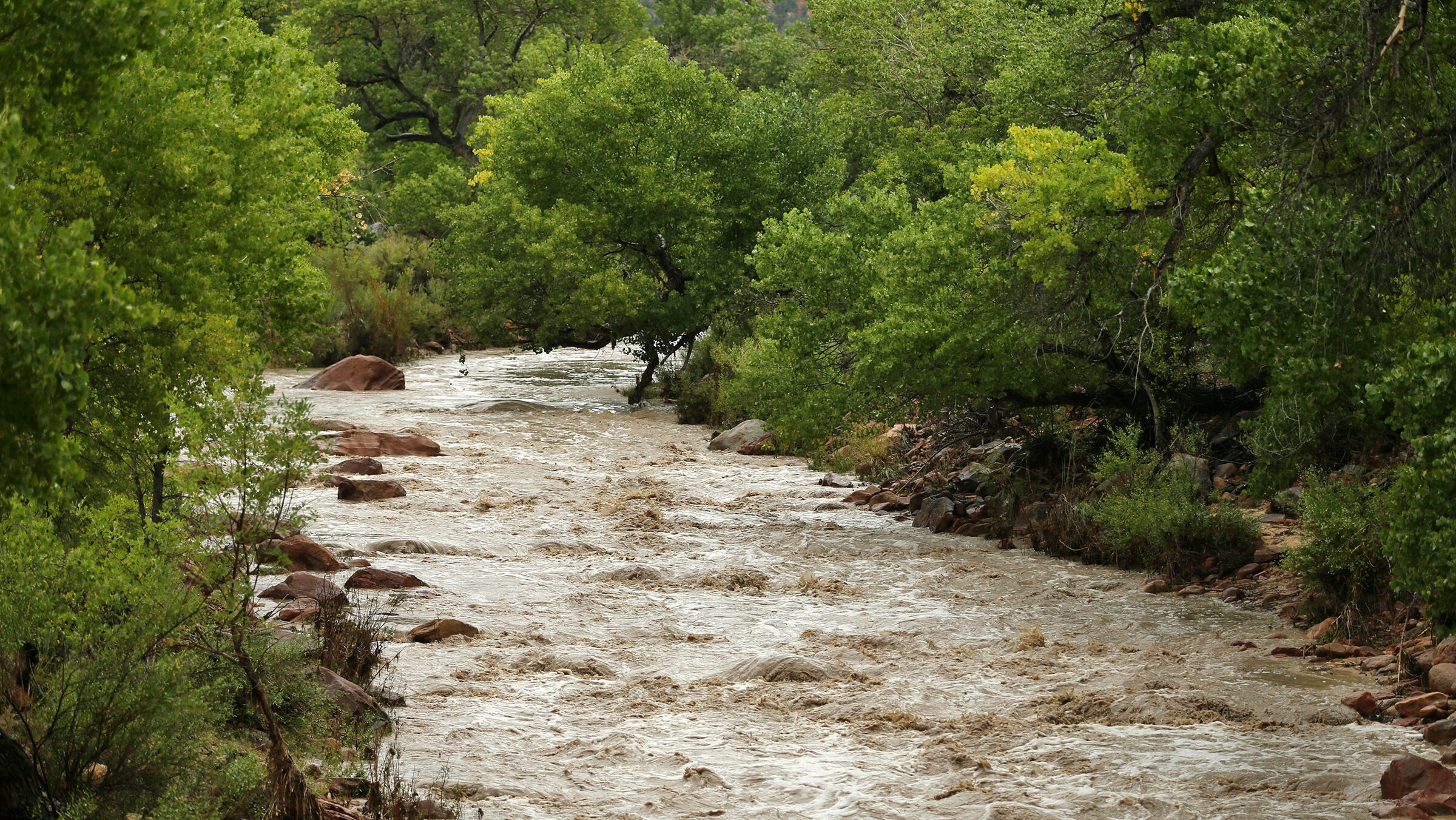
SALT LAKE CITY— Thunderstorms left behind an impressive amount of rain across the Beehive State on Sunday and Monday. They caused some flash flooding in parts of Southern Utah.
According to KSL Meteorologist Matt Johnson, Panguitch had received two inches of rain in just 24 hours from Sunday to Monday morning.
Eagle Mountain received .76 inches and the Davis County area got about .33 inches.
Marysvale saw some rain as well. The National Weather Service issued a flash flood warning for the area at 2:45 a.m.
Flash Flood Warning including Marysvale UT until 2:45 AM MDT pic.twitter.com/Op9QlBRQYW
— NWS Salt Lake City (@NWSSaltLakeCity) August 12, 2024
Fillmore also saw a flash flood warning.
Flash Flood Warning including Fillmore UT until 12:15 AM MDT pic.twitter.com/GCUBWvVEuS
— NWS Salt Lake City (@NWSSaltLakeCity) August 12, 2024
Johnson said Utahns can expect more thunderstorms Monday afternoon and again Tuesday. However, the skies are expected to dry out again by Wednesday.
Additionally, The National Weather Service said more rain is on its way to the Beehive State, particularly in Northern and Central Utah.
With monsoonal moisture in place, Utah and southwest Wyoming will see another round of afternoon showers and storms. Coverage will be greatest over northern and central Utah, and any storms that develop will be capable of producing strong and gusty microburst winds. #utwx pic.twitter.com/PXcnkXXAto
— NWS Salt Lake City (@NWSSaltLakeCity) August 12, 2024
Johnson is not forecasting temperatures to get hotter than 94 degrees for the next week.
Adam Small is a reporter for KSL NewsRadio. He primarily reports on the Great Salt Lake and Natural Resources. Follow him on Facebook and X.
Devin Oldroyd is a digital content producer for KSL NewsRadio. Follow them on X.


