National Weather Service says excessive heat could stick around
Aug 5, 2024, 1:45 PM | Updated: 3:37 pm
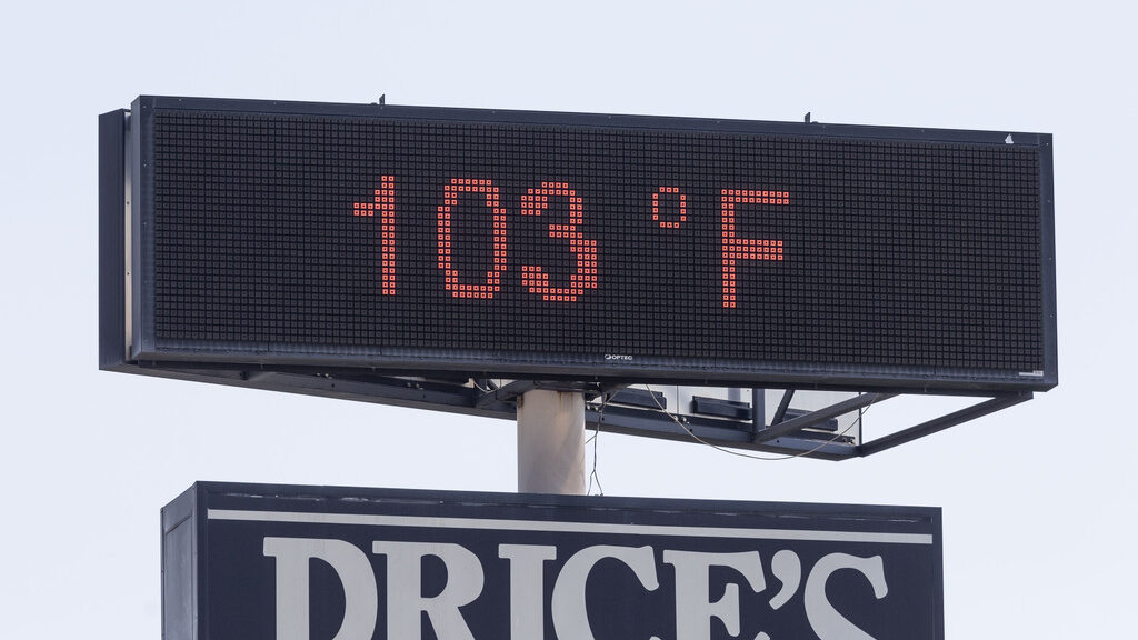
A electronic sign reads the temperature during a heat advisory in Salt Lake City on Friday, Aug. 2, 2024. (Brice Tucker, Deseret News)
(Brice Tucker, Deseret News)
SALT LAKE CITY — Excessive heat is hitting much of Utah today. The National Weather Service issued a “dangerous heat” level advisory for Monday and Tuesday.
Those hot temperatures may stick around longer this season, according to Alex DeSmet of the National Weather Service.
“Now, that’s not to say we won’t have an occasional cooldown, some occasional relief. But there is certainly that signal for favoring above-normal temperatures going all the way into the fall season, into the pumpkin spice season,” said DeSmet.
“Over the next two, three, four weeks, odds continue to favor above-normal temperatures all the way out through October.”
As for this week, Utah hits triple-digit highs today, tomorrow, and Wednesday.
Where will excessive heat hit?
According to the National Weather Service, the Wasatch Front/West Desert area will see temperatures from 100-104 degrees this week. St. George can expect 105-111 degrees.
“Heat will build Monday into Tuesday with temperatures challenging daily record high temperatures and warm low temperatures each day. The combination of hot daytime temperatures and poor overnight recoveries, especially along the Wasatch Front and in St George, will result in a increased risk of heat illness, especially among vulnerable populations,” per the website.
DeSmet reminds everyone to keep outdoor activities to mornings and evenings when temperatures drop. Wearing light clothing and staying hydrated is important. The National Weather Service recommends shifting any planned outdoor activities indoors.


